Tour Overview
Lockeport, Nova Scotia B0T 1L0, Canada
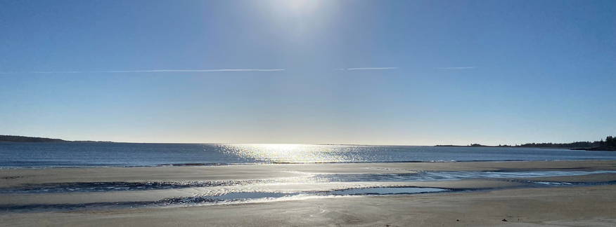
Visit the Island to Sea
Lockeport is a town and port in Shelburne County, Nova Scotia. It is a traditional Nova Scotian fishing town, situated on a peninsula in Allendale Bay. It is connected to the mainland by the Crescent Beach causeway. The area that surrounds the bay is known as the "Ragged Islands."
History
In 1762, two families from Massachusetts journeyed to Nova Scotia in an effort to find a new colony that was closer to the rich fishing grounds of the Grand Banks. When they found the sheltered Allendale Bay, they knew they had found a gem in the rough. Situated halfway between the colonies in New England and the fishing grounds, their new town would be a centre for both fishing and trade.
The patriarchs of those first two families, Jonathan Locke and Josiah Churchill, went on to become the captains of industry in the area. Churchill became the first mayor of the Township of Locke's Island (registered in Liverpool in 1764).
Locke's Island and its surroundings entered a period of booming industry, with hotels, trade warehouses and multiple fish plants being constructed. Large trade ships plied the sea lanes from Locke's Island to the West Indies to tradelumber and salt cod, returning to the town laden with molasses and salt. The fishing schooners were constantly returning from the Banks loaded with cod. However, this golden age of the Ragged Islands would eventually come to an end, with the first of many catastrophes coming in the form of a fish market collapse in the 1890s. Subsequent fires plagued the town, and the once great community was brought to its knees.
In 1907, a meeting was held among the rate-payers of the town. It was obvious to all in attendance that drastic action would need to be taken in order to stimulate the economy of Locke's Island. They decided that the Township of Locke's Island would become the Town of Lockeport. By incorporating as a town, the community was able to receive money from the provincial government.
The money initially received by the town was used to construct a ferry that would link the town with a nearby rail line.
Stops
-
Stop 1: The Old Mill on the Tigney River (Historic Site)
-
Stop 2: Tigney River Trail
-
Stop 3: Picnic Park
-
Stop 4: Footbridge Trail (Swinging Bridge)
-
Stop 5: Louis Head Beach & Breakwater
-
Stop 6: Hemeon's Head Conservation Lands (Matthews Lake, Black Point Beach)
-
Stop 7: The Beach Center (Tourist Bureau)
-
Stop 8: Seaman's Memorial and Marine Annex
-
Stop 9: Crescent Beach & Buchanans Beach
-
Stop 10: Little School House Museum
-
Stop 11: Seacap's Memorial Park
-
Stop 12: Lockeport Cenotaph Soldiers Monument.
-
Stop 13: Icelandic Settlement Site
-
Stop 14: Trestle Trail
-
Stop 15: Historic Streetscape (South Street)
-
Stop 16: Rood's Head Park (Chetwynd's Beach, I-spy walking trail)
-
Stop 17: Lighthouses- Carters Light and Gull Rock
-
Stop 18: Jordan River Trail
-
Stop 19: Widdow's Walk
Map
