Tour Overview
The original shoreline in Auckland has been changed dramatically by reclamation works in the 19th to early 20th centuries, the development of rail connections, and the construction of the Harbour Bridge and motorway in 1950s and 60s. The marinas and commercial wharves, which now stretch from Westhaven through to Judge’s Bay, are very different from the foreshore sighted by the first settlers to Auckland.
The alteration of Auckland’s shoreline after 1840 until present day; from sandy beaches, rocky cliffs and mudflats – to modern wharves for passengers and container traffic illustrates the change from colonial port to modern city. In tracing the line of the original foreshore we can see the history of the development of Auckland.
This walk takes approximately 3 hours. The guide is written from west to east, but of course may be done in the other direction.
Stops
-
Introduction
-
Stop 1: Pt Erin - Okā
-
Stop 2: St Mary's Bay - Ko Takere Haere (Western End)
-
Stop 3: St Mary's Bay (Eastern End)
-
Stop 4: Pt Fisher - Acheron Pt - Te Tō
-
Stop 5: Freemans Bay - Waiatarau (Western End)
-
Stop 6: Freemans Bay - Waiatarau (Eastern End)
-
Stop 7: Freemans Bay - Waiatarau (Drake Street)
-
Stop 8: Freemans Bay - Waikokota
-
Stop 9: Franshawe Street - Te Pane Iriiri
-
Stop 10: Brickfield Bay
-
Stop 11: Smale Point - Pt Stanley - Ngauwera
-
Stop 12: Swanson Street
-
Stop 13: Lower Queen Street
-
Stop 14: Fort/Gore Streets
-
Stop 15: Britomart Place
-
Stop 16: Point Britomart
-
Stop 17: Offical Bay - Wynyard Pier
-
Stop 18: Mechanics Bay - Te Toangaroa
-
Stop 19: Constitution Hill - Te Reuroa
-
Stop 20: Augustus Terrace
-
Stop 21: The Strand
-
Stop 22: St Georges Bay - Te Wai O Taikehu
-
Stop 23: Campbell's Point
-
Stop 24: Judge's Bay
-
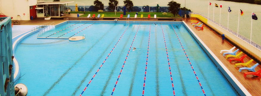
Stop 25: Parnell Baths

