Tour Overview
Explore the history of Avondale, from its start as a Māori settlement known as Te Whau through its early European development to today’s suburb.
Avondale is known to tangata whenua as Te Whau, which is also the name for the river that defines Avondale’s western boundary. Te Auaunga (Oakley Creek) marks the eastern edge of Avondale and refers to the numerous whirlpools along the creek. There were once many seasonal camps and papakāinga (villages) along the edges of Te Whau and Te Auaunga.
The name Avondale was chosen by John Bollard, an early settler, who borrowed it from Avondale Forest in his home of County Wicklow, Ireland. It only became the official name for the aera in 1882 when the Whau Highway District became the Avondale Road District. Avondale became a borough in 1922 and then merged into Auckland City in 1927. Along with all of the other communities in the Auckland Region, Avondale was amalgamated into the Auckland Supercity in November 2011. The Whau Local Board and Whau Ward represent Avondale in Auckland Council.
This walk showcases the history of Te Whau Avondale following European settlement and focuses on early industries and the development and consolidation of the community. It features some of the earliest surviving places in Avondale including St Ninian’s Church, built in 1859–60. And includes buildings and sites associated with significant aspects of Avondale’s historic development such as commerce and retail, accommodation and hospitality, law and order, education, and transport. Avondale’s historic places bring to life the stories and people who have lived and worked here.
Terrain: Concrete footpaths alongside busy roads. Only cross the road when instructed and when safe to do so.
Starting Point: Avondale Library, 93 Rosebank Road
Parking: Free two-hour parking is available behind the Avondale Library. More free parking is available on city streets.
Disclaimer: This walk is along public roads and includes historical facts about the buildings and the area. Most of the sites are private businesses or homes. Please respect the environment and do not trespass on private property. Neither Auckland Council nor private property owners accept responsibility for any loss, damage, or injury to you or your property arising from use of this tour.
Copyright 2022 Auckland Council. Auckland Council holds all copyrights associated with this tour. You may not copy or reproduce the content of this tour without permission from Auckland Council. Auckland Council has taken every care to ensure that the information contained in this tour is accurate, but accepts no responsibility arising from, or in connection with, your use of this tour and the information contained in it.
Stops
-
Stop 1: Avondale Library (93 Rosebank Road)
-
Stop 2: Titirangi Lodge and Fearons Building (69 Rosebank Road)
-
Stop 3: Greytown Hotel (1875 Great North Road)
-
Stop 4: Former Post Office (1864 Great North Road)
-
Stop 5: Avondale Union Parish Church (45 Rosebank Road)
-
Stop 6: Station Store (25 Rosebank Road)
-
Stop 7: Bluck Building (13–19 Rosebank Road)
-
Stop 8: Avondale Railway Station
-
Stop 9: Avondale Primary School (1910–1940 Great North Road)
-
Stop 10: St Jude’s Church (25–27 St Jude Street)
-
Stop 11: Avondale Public Hall (18 St Georges Road)
-
Stop 12: Avondale Town Hall / Hollywood Theatre (20 St Georges Road)
-
Stop 13: St Ninian’s Church (17-19 St Georges Road)
-
Stop 14: Avondale Memorial Reserve (2040 Great North Road)
-
Stop 15: Avondale Stables (2059–2073 Great North Road)
-
Stop 16: Avondale Hotel (2027 Great North Road)
-
Stop 17: Page’s Building (2016–2020 Great North Road)
-
Stop 18: Avondale Police Station (2004 Great North Road)
-
Stop 19: Allely Building (1994–2000 Great North Road)
-
Stop 20: Trigg and Danes Coach Builders (1980 Great North Road)
-
Stop 21: Avondale Spider Sculpture (1975 Great North Road)
-
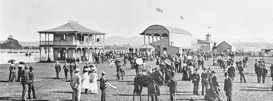
Stop 22: Avondale Racecourse (End of Racecourse Parade)
-
Stop 23: Excelsior Chambers (1880–1888 Great North Road)
-
Stop 24: Unity Building (1874–1878 Great North Road)

